

Curvature changes for localization
Localization of a train in the railway network is a key aspect in modern railway industry. One of the most important applications, if not the most, that need to know where the train is at every time is the signalling system (ETCS or CBTC e.g.). Currently, the physical balises on the tracks are the pillars on which the localization system of the signalling system relies on. However, due to their installation and maintainability costs, big efforts are being dedicated to research in solutions that could remove, or at least reduce, the number of these balises. The main challenge faced by the alternative solutions is the safety (or integrity) level together with the accuracy that they have to achieve in order to be a valid candidate to replace the current ERTMS solution based on balises.
One of these research projects is CLUG, which aims at positioning the train by combining GNSS signals (with augmentation information) with different types of sensors and a complete digital map of the railway network. Safety and accuracy requirements pose a very challenging aim for the project that need of very advanced solutions to overcome the different problems that are being faced.
Nevertheless, there are other railway applications that need to know the train position but that are not so critical in terms of safety or accuracy. For example, in CAF trains, one of these applications is the energy consumption management system. This application, based on the timetables of the train stations and the nature of the route (slopes, curves, tunnels…), provides with guidelines for driving in order to minimize the energy consumption of the train.
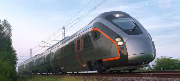
Taking this application as pilot test, in CAF an innovative positioning solution has been developed. The objective of such solution is to reduce costs significantly, not only by reducing balises but also by employing IMUs with lower performance than those proposed in the CLUG solution. Together with GNSS and speed sources (tachometers e.g.), the principal operating concept is the map matching by means of a gyroscope. A gyroscope mounted in the vertical axis measures the rate of gyro of the train towards left or right. Then, the localization system maps the gyro-speed duplex with the curvature of the track. When there are changes in the curvature, position corrections can be done. In other words, it could be said that these corrections can substitute the functionality of certain balises.
This positioning system has shown to be effective in correcting the position despite not using a high-capabilities IMU. CAF is working now in developing this solution to be safe.
Aitor Erdozain & Iban Lopetegi, PhD Software Engineer in CAF Research & Development